SERVICES
Our Services
Our comprehensive range of services includes
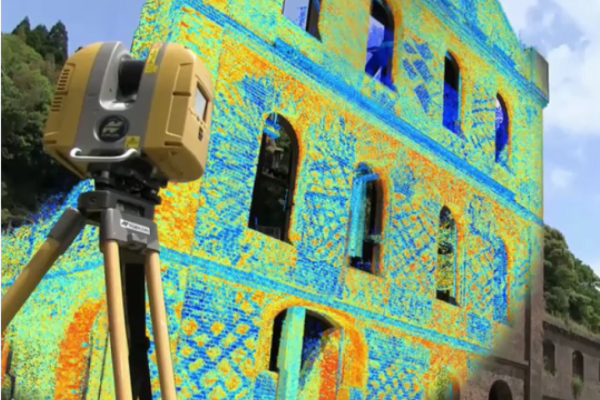
3D LASER SCANNING
Dive into the future with our 3D Modelling, Scan to BIM, Industrial Survey, and Infrastructure Survey services, revolutionizing the way you perceive and interact with your surroundings.
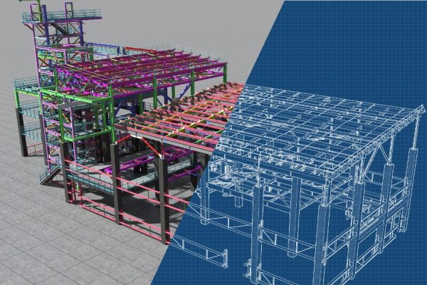
BIM
From Scan to BIM, CAD to BIM, Clash Detection, to comprehensive BIM Modeling Services, we ensure seamless integration and collaboration throughout your project lifecycle.
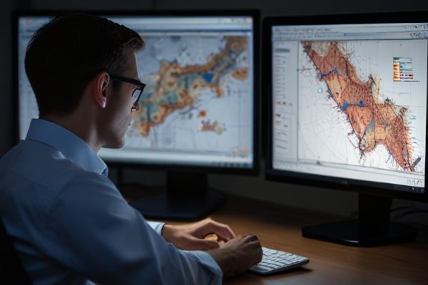
GIS
Empowering smarter decision-making with advanced GIS technology, transforming complex data into actionable insights for sustainable growth and innovative solutions across various industries
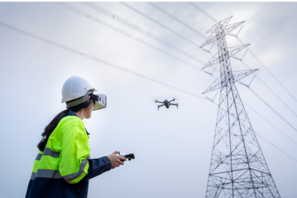
DRONE SURVEY
Take your projects to new heights with Asset Inspection, Power Line Survey, Site and Route Mapping, and Disaster Analysis, all powered by cutting-edge drone technology for unparalleled efficiency and precision.

MOBILE MAPPING
Empower your projects with the highest quality data collection for surveying roads and infrastructure, generating 3D models, and creating digital twins, all through our state-of-the-art Mobile Mapping services.
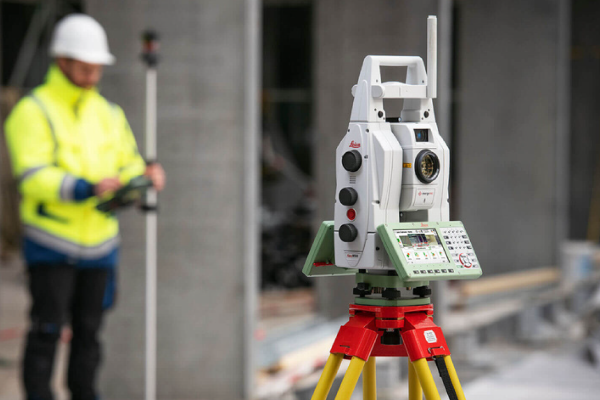
LAND SURVEY
From Topographic Surveys to Building Survey, Construction Survey, and Geodetic Surveys, we provide the foundation for your projects with unparalleled accuracy..
